Series
Maps in Motion
A marsh becoming a megacity. Airports spreading across Japan. A lake disappearing. We fast-forward decades and centuries on a map to see how towns and nature changed.
7 episodes YouTube playlist
Episodes
-
 How did Tokyo grow from swampland to 37 million?
In 1590, Edo was inlets and wetlands with a small town around its castle and port; by the 18th century it held about 1 million people.
-
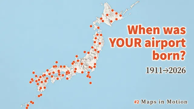 When and Where Did Japan's 97 Airports Appear?
Japan's first airfield opened at Tokorozawa in 1911; today the country has 97 airports (as of September 1, 2026).
-
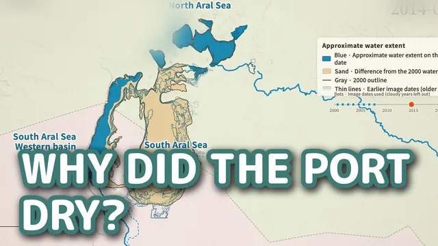 Why Did the Aral Sea Shrink? Satellite Map Timelapse 2000→2026
From the 1950s, water from the two rivers was diverted to irrigation; with no outlet to the ocean, evaporation kept pulling the level down.
-
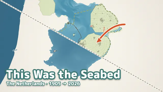 Was Flevoland, a Dutch Province, Seabed 100 Years Ago?
The Dutch dammed the Zuiderzee into a lake, then enclosed parts of it and pumped them dry, making about one-twentieth of the country's land.
-
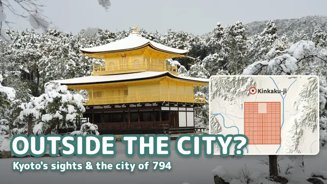 Why Are So Many of Kyoto's Famous Sights Outside the 794 Capital?
Most of Kyoto's old sights lie outside Heian-kyo, the 794 city: only 3 of its 17 World Heritage component parts are inside.
-
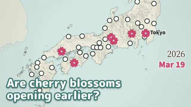 Are Japan’s Cherry Blossoms Opening Earlier? 74 Springs on a Map
Yes, over the long run: at all 47 sites compared, the 30-year average first flowering date came earlier.
-
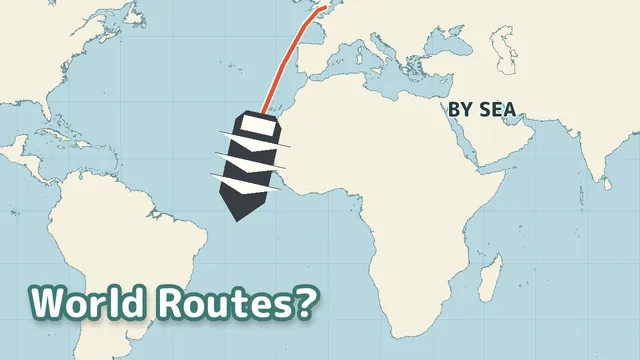 How Did Ships, Planes and Trains Connect 195 Countries?
Transport routes connect through shortcuts such as Suez in 1869, transfers, different needs and changing safety conditions.
Also searched asanimated maphistory maphow cities grew